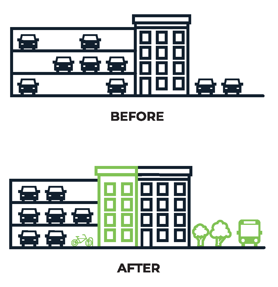
Maximum parking ratios
We created maximum parking ratio guidelines for new large development that are required to submit a transportation access plan agreement (TAPA).
We developed an analysis that right-sizes the amount of parking allowed for new large developments. The new parking guidelines are complemented by our transportation demand management (TDM) strategies. TDM strategies allow developers to manage their tenants' parking demand by investing in sustainable transportation options.
Why have max parking ratio guidelines?
The new guidelines help us reduce emissions and create more walkable neighborhoods. To reduce the demand for parking, we must also invest in walking, biking, and transit.
WHO DOES THIS APPLY TO?
The new guidelines set maximum parking spaces allowed for new developments over 50,000 square feet.
WHY DO WE NEED NEW RATIOS?
Building parking in Boston is expensive. It can cost up to $50,000 per parking space, and that cost is passed on to tenants. By reducing parking in areas that don’t need extra parking, the development cost is reduced.
Less space for parking means more space (and money) for:
- housing
- trees, and
- other better and higher uses.
It also means fewer cars on our congested roads.
WHAT DETERMINES PARKING RATIOS?
The new ratios are site-specific. We want the amount of parking that is built to better reflect the area the developments are in. Proximity to:
- subway stations
- bike share, car share, keys bus routes, and the commuter rail
- grocery stores, and
- walkable amenities lead to lower parking ratios.
Maximum parking ratios and methodology
MOBILITY SCORES MAP
Map of mobility scores that are used to inform parking ratio maximums.


